Measuring the level and flow of Lake Winona
The elevation of Lake Winona is determined by measuring the distance from the surveyed reference point on top of the culvert to the water. A notebook or other straight object can be used to extend the reference elevation over the water. A rigid measuring rod or a weighted tape measure can be used to keep the tape vertical in the presence of wind. Measurements are made to the nearest 1/8".
The level of Lake Winona is more sensitive than Lake Waukewan due to the larger ratio of its watershed to the size of the lake and the steeper and rockier slopes surrounding it. It is even more sensitive during ice-out, when the flow capacity of Snake River is reduced due to the lower water level of the winter draw-down. The flow is determined by measuring the time for a floating surface object near the center-line of the culvert to go between the two faces of the culvert under the road, which is 27.67' long. Using a stick or object that floats low in the water will reduce errors due to wind. An Excel sheet that can be used to log the measurements can be found here. |
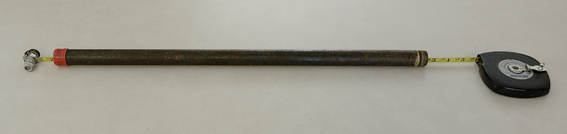
Example of a weighted tape measure. The weight helps reduce the effect of wind on the measurement.
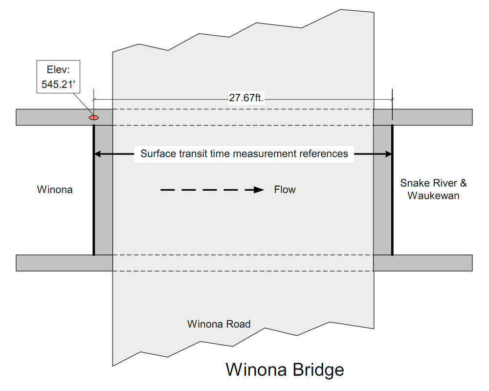
Plan view of the bridge at Lake Winona. The surveyed reference point is shown as the red dot.
|